Training & Teaching
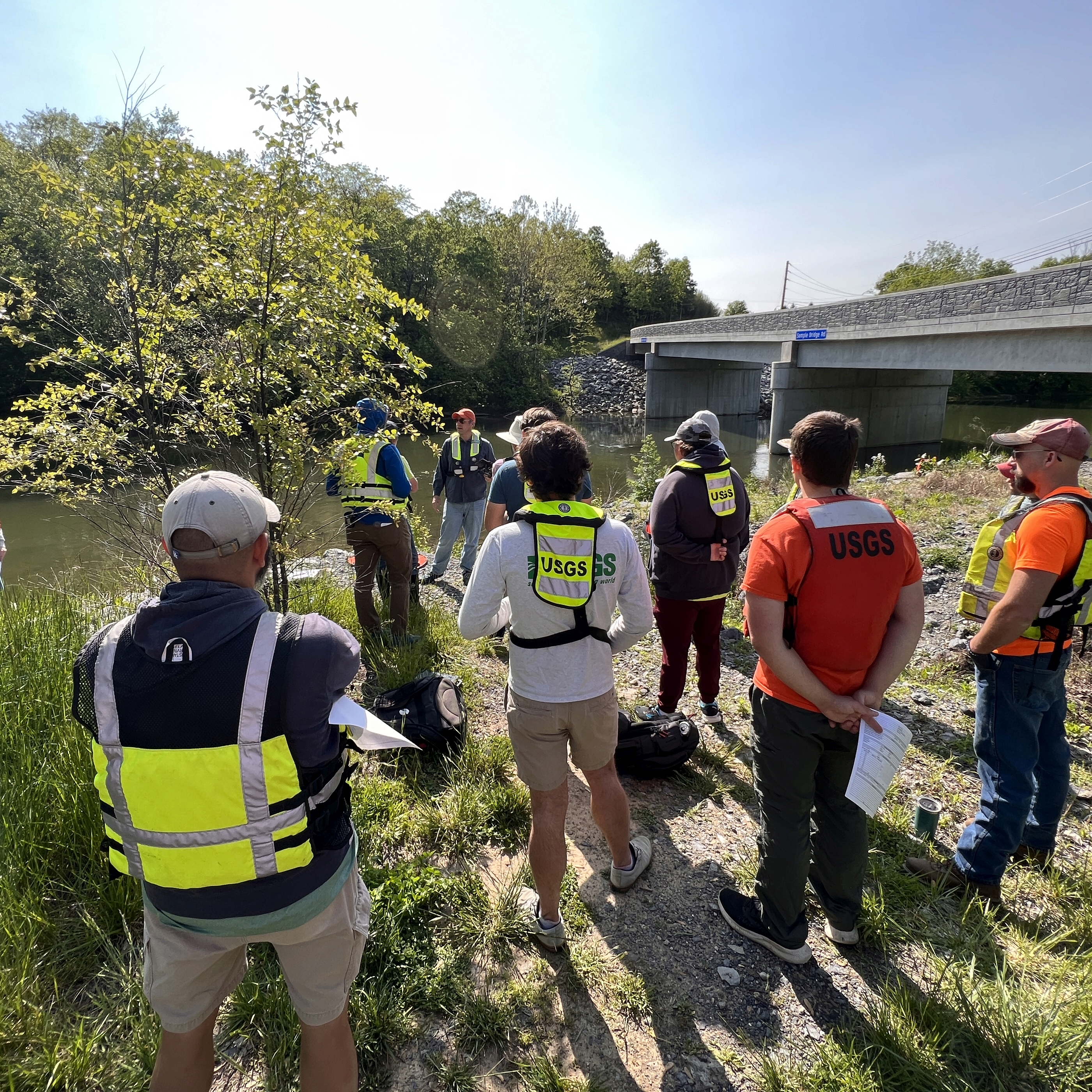
I develop and deliver national training programs to build USGS capacity in non-contact measurement technologies. Teaching and mentoring staff and scientists at all levels is a core part of my mission to operationalize these methods agency-wide.
National Training Courses
Image Velocimetry Techniques for Computing River Velocity and Discharge
A comprehensive 40-hour national training course covering the theory, practice, and software tools for image velocimetry. Delivered seven times between 2022–2026 to 170+ USGS staff with 95% satisfaction rates.
Topics covered:
- Fundamentals of image velocimetry (STIV, PIV, LSPIV)
- Camera installation and video collection best practices
- IVyTools software operation and workflows
- Orthorectification and ground control
- Quality assurance and uncertainty estimation
- Computing and documenting discharge measurements
Additional Courses Developed
- Concepts of Measuring Velocity and Streamflow with Doppler Radar
- Using Acoustic Doppler Current Profilers for Velocity and Bathymetry Mapping
- Applying Image Velocimetry using Uncrewed Aerial Systems (UAS)
University Teaching
My methods and software have been incorporated into graduate-level curriculum at multiple universities:
- University of Arizona — Image velocimetry short course (Sept 2024)
- Pennsylvania State University — Image velocimetry lecture and short course (Sept 2024)
- University of Texas at San Antonio — Seminar series (Oct 2021)
- Texas A&M University — Geosciences Spring Colloquium (Feb 2020)
Student Advising
I advise graduate students whose thesis research directly uses methods I developed:
- A. Tenorio (Penn State) — Auto-STIV deep learning framework
- A. Cadogan (University of Arizona) — UAS-based discharge measurement
Outreach
- DesignSafe Summer Institute (2022) — K–12 STEM teacher mentoring program
- St. Matthews School STEM Program (2018) — Elementary drone outreach
- Greater Austin Contractors & Engineers Association (2019) — Flood response technology
- Texas Commission on Environmental Quality (2018) — Keynote on measurement techniques